
Europe's New Sentinel-3C Satellite Sends Back Its First Images of Earth
Two weeks after launch, the satellite showed the snowy Alps, frozen Arctic islands and turquoise Caribbean waters.
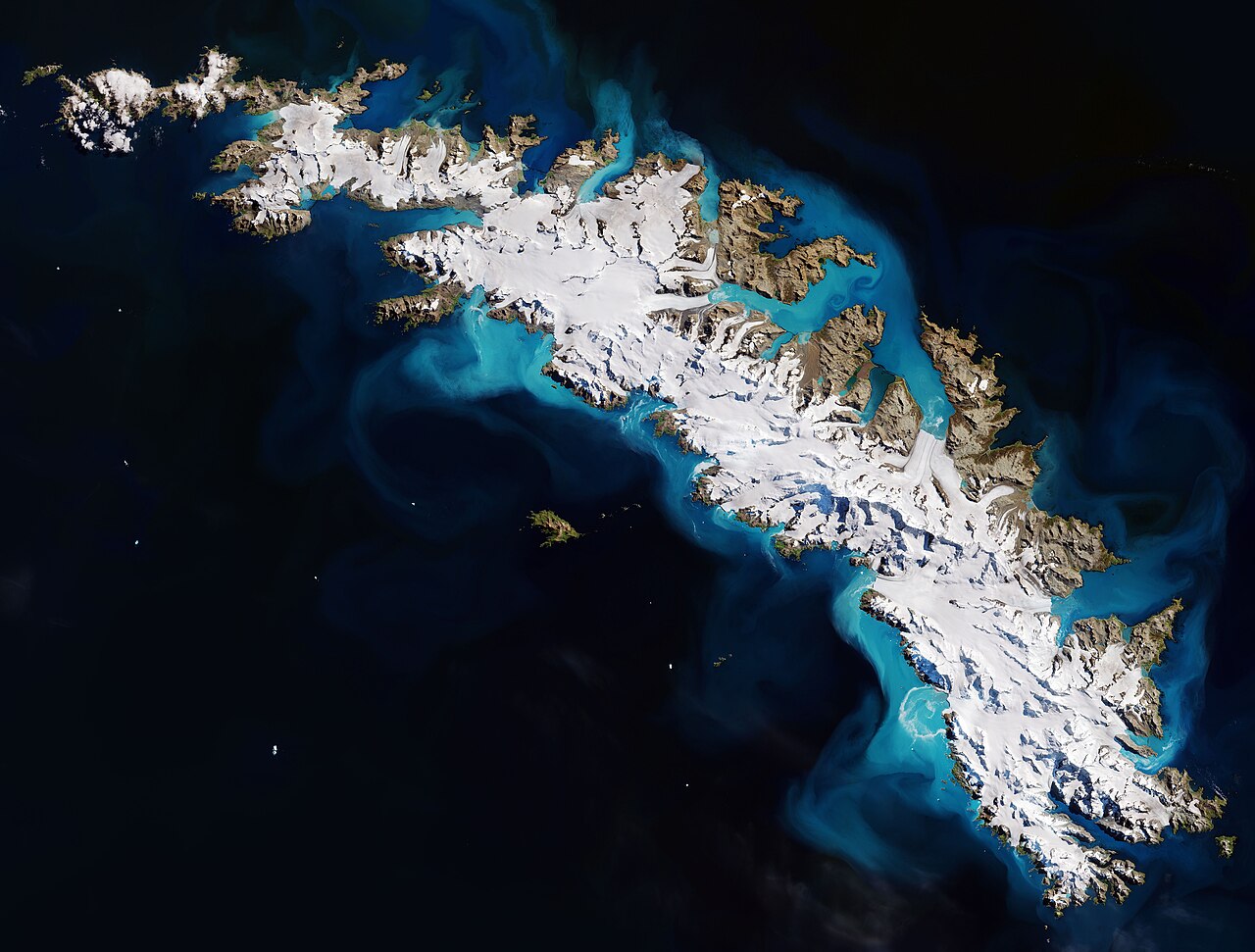
Europe's new satellite Sentinel-3C has sent back its first pictures of Earth just two weeks after reaching orbit. The images show the snow-covered Alps, the frozen Arctic and the bright turquoise waters of the Caribbean, according to the European Space Agency, or ESA.
The satellite does more than take beautiful pictures. Its instruments have also started to measure the height of the oceans and the elevation of Greenland's huge ice sheet. This is an early test of technology designed to monitor Earth's changing climate.
Sentinel-3C is the third spacecraft in the Sentinel-3 series, part of Europe's Copernicus Earth observation program. The satellites carry matching instruments that gather information about the oceans, the land, the atmosphere and the cryosphere, which means the frozen parts of the planet. Over the oceans, they measure the temperature, color and height of the sea surface, as well as the thickness of sea ice. That helps scientists study ocean pollution, track marine heatwaves and understand changes in the sea. On land, the satellites provide information about droughts, wildfires, the health of plants and how land is used. They also measure water levels in rivers and lakes and changes in the height of polar ice sheets. The data also support weather forecasts and help researchers spot long-term trends linked to climate change.
ESA is still getting Sentinel-3C ready for full operation, and the testing and commissioning is expected to take another five months. Even so, the first two weeks have given encouraging results.
One of the first images, taken on September 30 by the satellite's ocean and land color instrument, shows Italy and the seas around it in natural color. The picture covers an area from southern Germany over the whole of Italy down to Sicily and the southern Mediterranean Sea. In the upper center, the Po Valley stands out as a wide area of green and brown, and it is the center of Italy's farming. To the north, the snow-covered Alps rise above the lowlands.
About this story
Source: ScienceDaily. Spotted a mistake? Tell us.
More in Nature
Across the U.S., Removing Old Dams Is Helping Fish Swim Home
More than 2,300 dams have been taken out since 1912, and fish such as herring are returning in the Northeast.
A Tiny Swimming Hunter From the Jurassic Helps Explain How Mammals Evolved
The 165-million-year-old fossil of Megacauda sungei has a soft palate that lets an animal swallow and breathe.
Ancient Rocks Reveal How Earth Kept Its Oxygen for Billions of Years
Scientists say a cycle in the oceans that recycled the nutrient phosphorus may be the answer.